Nanno | |
|---|---|
| Comune di Nanno | |
Location of Nanno | |
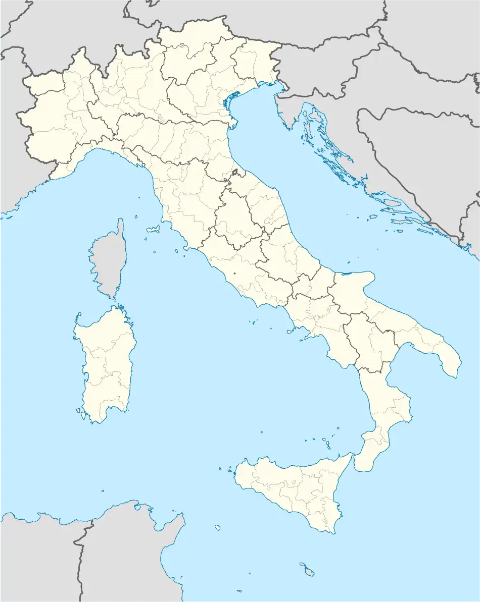 Nanno Location of Nanno in Italy 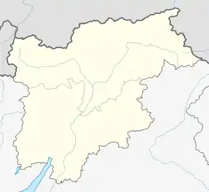 Nanno Nanno (Trentino-Alto Adige/Südtirol) | |
| Coordinates: 46°19′N 11°3′E / 46.317°N 11.050°E | |
| Country | Italy |
| Region | Trentino-Alto Adige/Südtirol |
| Province | Trentino (TN) |
| Area | |
| • Total | 4.3 km2 (1.7 sq mi) |
| Population (Dec. 2004) | |
| • Total | 623 |
| • Density | 140/km2 (380/sq mi) |
| Demonym | Nannini |
| Time zone | UTC+1 (CET) |
| • Summer (DST) | UTC+2 (CEST) |
| Postal code | 38010 |
| Dialing code | 0463 |
Nanno (Nones: Nan) was a comune (municipality) in Trentino in the northern Italian region Trentino-Alto Adige/Südtirol, located about 30 kilometres (19 mi) north of Trento. As of 31 December 2004, it had a population of 623 and an area of 4.3 square kilometres (1.7 sq mi).[2] It was merged with Tassullo and Tuenno on January 1, 2016, to form a new municipality, Ville d'Anaunia.[3]
Nanno borders the following municipalities: Tassullo, Tuenno, Terres, Flavon and Denno.
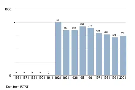
Demographic evolution
References
- ↑ "Superficie di Comuni Province e Regioni italiane al 9 ottobre 2011". Italian National Institute of Statistics. Retrieved 16 March 2019.
- ↑ All demographics and other statistics: Italian statistical institute Istat.
- ↑ "Fusioni: nominati i 7 commissari nei comuni del referendum". trentotoday.it. 2015-12-30.

This article is issued from Wikipedia. The text is licensed under Creative Commons - Attribution - Sharealike. Additional terms may apply for the media files.